
Background
When I paused 15 years or so ago I had a small tribander, a multiband vertical and a 2m vertical on two short 30 to 35ft towers in the back yard. I took it all down and stored it in the barn thinking someday I would re install it on a proper tower. When is was up, it suffered from one primary issue, lack of height as is was both below a half wave length on all but 10m and the VHF antenna was below the surrounding terrain as my property is in the bottom of a bowl.
Future State Definition
The next step was to determine what would be an appropriate height to achieve the following outcomes.
- Good HF performance above 40m, for 40m and 80m I will stick with a wire antenna or a ground mounted vertical.
- Good VHF and UHF performance into the Kansas City metro repeaters.
- Support TV receive antenna as I would like to decommission the tower in the back yard which holds nothing but the house TV antenna.
- Ability to access broadband from one or both of the WISP internet providers in the county, which rules out crank ups our any similar design.
- No guy wires and nothing attached to the house.
Out of those requirements came nothing but questions.
- How high and at what capacity?
- How much did I want this all to cost?
- Where to place it on the property?
- What make and model represented the best bang for the buck?
How High
The first priority was to determine what height would work, to begin I began to consult topo maps which I downloaded at http://store.usgs.gov/. I also used Google earth to view the terrain profile between my location and the WISP provider towers. This just confirmed that I was in a hole and it was about 80ft deep in most directions and 100 deep in other directions. Another tool from our friends at the FCC is a height above average terrain which while intended for broadcasters over at (http://www.fcc.gov/encyclopedia/antenna-height-above-average-terrain-haat-calculator)it does a fine job of giving one a full compass view at different heights.
In the above profile my house is on the right side and the target tower is on the left.
None of these tools account for trees!!!
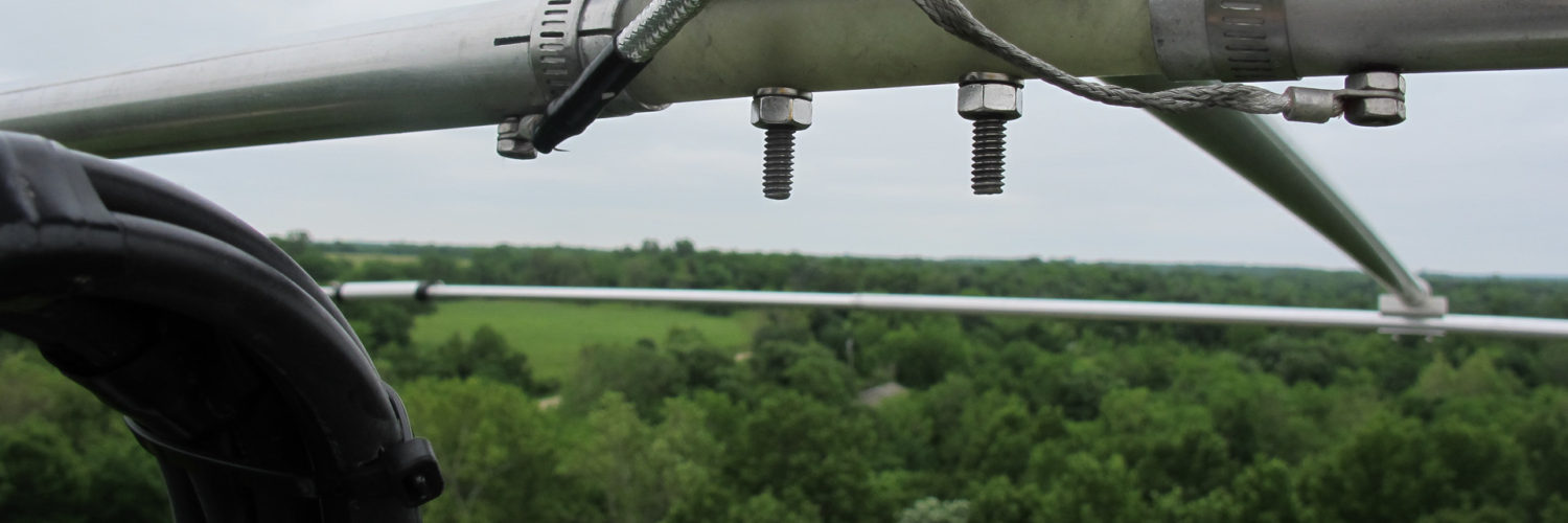
So the next step was to perform a visual survey and confirm that the paper plan and determine if a 30-50ft allowance for tree’s would be sufficient. I hired a crane service and took photos at 80ft and 100ft AGL to verify line of sight and a fairly unobstructed first order Fresnel zone view to the WISP towers in the area.
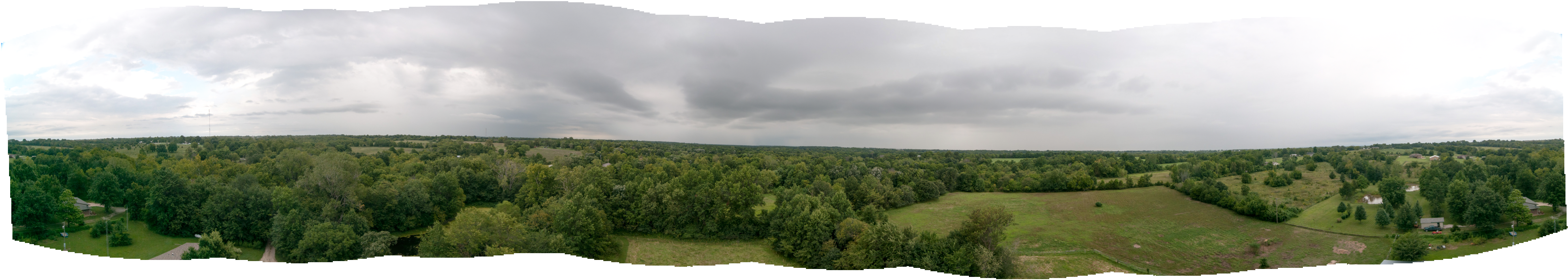
The conclusion, 100ft would be needed just to get a line of sight out of the valley.
Leave a Reply